
 |
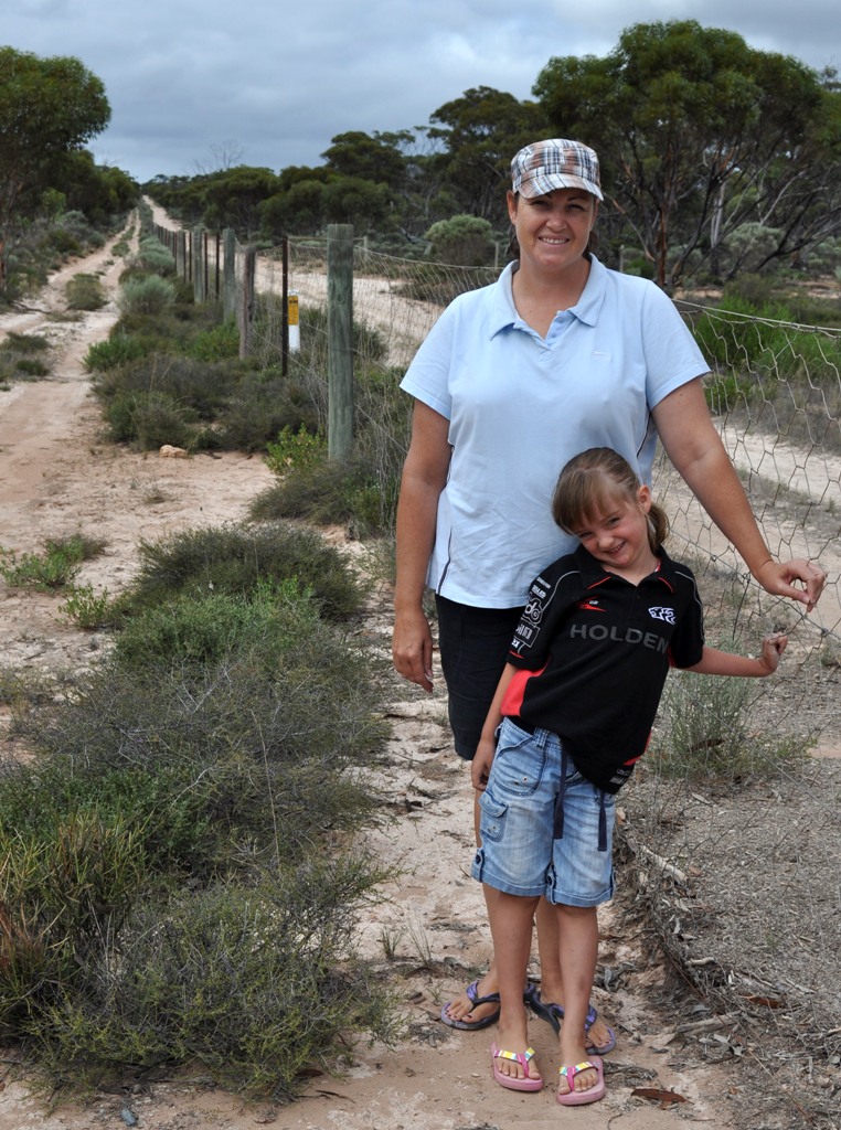
| Bec and Scarlett on the 'Dog Fence' |
An evening on the edge of the Nullarbor…
Scarlett slept in until almost 8:30am which was amazing since she was in bed by 9pm last night. Free camping on the edge of the Nullarbor was amazing, as there was no moon in site and the sky was black with clouds. Honestly, with no lights it was the blackest night I can ever remember!

Next stop was definitely a highlight. We took some time out and visited the ‘Head of the Bight’. This area becomes the playground for migrating Southern Right Wales during the months of May to October, so unfortunately we were out of luck during our visit. The interpretive centre was open, and we saw whale bones and looked around in the shop before having lunch. This place is one of the best viewing areas in the world with up to 100 whales, including calves, congregating in the seas adjacent to the Bunda cliffs. In 1996 the Great Australian Bight Marine Park was established, further recognising the importance of these whales. We were even lucky enough to see an Australian Kestrel gliding on the thermals and swoop and catch one very unfortunate lizard during our visit to this amazing place.
 |
| ‘Head of the Bight’ |
10 minutes after getting back on the road, Bec asked me to pull over at she wanted a photo of these ‘road signs’ because they looked ‘cool’ and were quite infamous as everyone stops for a photo. Who am I to argue?

We ‘paused’ at the Nullarbor Roadhouse to buy some teabags, as we seriously running low. Bec bought a box of 25 x tea bags that ended up costing $4.00. Bec said that it’s only a couple of dollars more expensive than normal and quite reasonable.
We have so far seen a number of Wedge-tailed Eagles in the distance but nothing close, but we are keeping our fingers crossed. We can’t wait to get a little closer to a few of these big raptors!
Bec was amazed to see a sign saying that this part of the Eyre highway was used as an emergency runway by the Royal Flying Doctor Service (RFDS). No sooner had we seen the sign, and then we crossed the piano keys identifying the ends of the so called runway on the highway. Very interesting!
This afternoon we stopped and made camp at the Bunda Cliffs Scenic Lookout, which is about 75km’s east of Border Village (Western Australian border). The cliffs and raw beauty of the place is breathtaking. After dinner, we settled in to watch Jurassic Park 2 – The Lost World, before heading back to the cliff tops to watch another magic sunset.
 |
| Bunda Cliffs Scenic Lookout |
 |
| Sunset at Bunda Cliffs Scenic Lookout |
No comments:
Post a Comment